
Marine Planning Partnership of the North Pacific Coast
/The Marine Planning Partnership for the North Pacific Coast (MaPP) is a collaborative planning process for coastal and marine areas in four sub-regions of B.C.(Haida Gwaii, North Coast, Central Coast and North Vancouver Island). MaPP is a partnership between the Province of British Columbia and 20 member First Nations (as represented by the Coastal First Nations-Great Bear Initiative, the North Coast-Skeena First Nations Stewardship Society and the Nanwakolas Council). SeaSketch is assisting MaPP by enabling on-line access to MaPPs' extensive spatial data library and by creating analytical tools to support MaPPs' work.
Integrating Marxan
Marxan is one of the most popular optimization tools used in marine protected area planning globally. Our partners at the Marine Planning Partnership for the North Pacific Coast (MaPP) are integrating Marxan outputs in their SeaSketch project. MaPP is using the SeaSketch project to draft protection management zones in four sub-regions, and discuss these with marine stakeholders. The Marxan outputs are one of the quantitative tools to inform the placement of these zones.

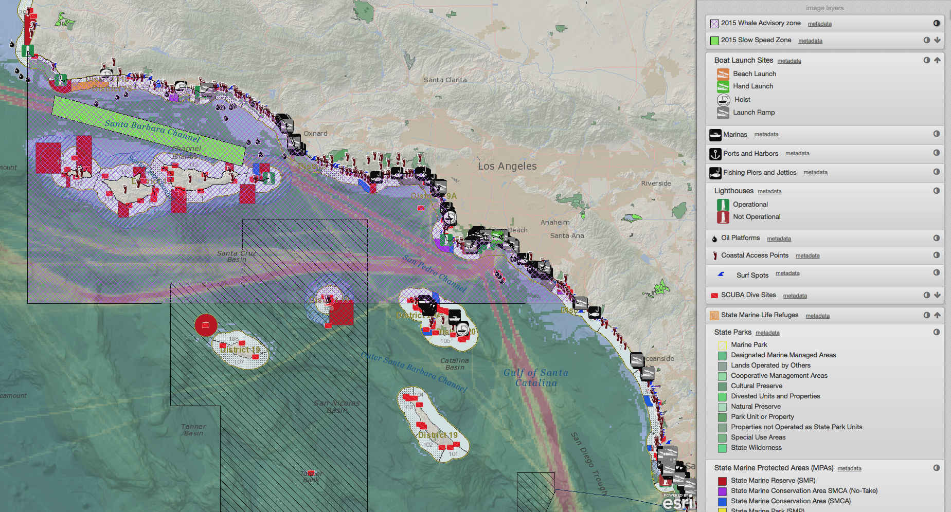
Marxan output displayed as map layer and analyzed in a report.
Aided by visualization tools in SeaSketch, users can create and/or compare draft protection management zones using Marxan-generated solutions. First, Marxan is used offline to identify several scenarios for high-priority marine conservation areas. Marxan is run using more than 170 spatial datasets of ecological information and using a range of targets identified from peer-reviewed literature and expert and marine stakeholder workshops. The "sum solution" and "best solution" maps from Marxan are then made viewable on the MaPP SeaSketch project (i.e., exposed as map services) and used for analyses and reports (i.e., geoprocessing services). When a user uploads or draws a zone that they suggest for a protection management area, that area is intersected with a Marxan output and a report is generated to show the results. The user also has access to many other spatial layers and planning tools to strengthen the rationale for zone locations including marine uses and activities, existing Marine Protected Areas, sector-generated maps to show high value areas, as well as local and traditional knowledge.
The user-generated draft designs for protection management zones - and the reports that indicate their relative Marxan scores - may be shared with other users in real-time discussion forums and in-person at stakeholder meetings. In this way, MaPP has combined optimization techniques with the "collaborative geodesign" approach central to SeaSketch.