
Nominating a National Marine Sanctuary
/For the first time in two decades, NOAA has invited communities to nominate a new National Marine Sanctuary. SeaSketch has been designed to help communities do just that. And now, because of some fancy new features, you can rapidly deploy a feature-rich SeaSketch project to help your nominations meet NOAA's criteria for consideration.
A Survey for Sanctuary Nominations
Communities that may wish to nominate a new sanctuary may include the Regional Planning Bodies established to implement a framework for marine planning, or conservation NGOs like Oceana, The Nature Conservancy or The World Wildlife Fund. These groups may have, as part of their overall mission, an interest in helping identify areas of the ocean that are special and worthy of extra protection.
NOAA is placing particular importance of community-based support in their http://www.nominate.noaa.gov/guide.html#document. So, how can one simply engage stakeholders to get their input? How can stakeholders demonstrate that their nominations are well informed? Furthermore, how can we make it easier for NOAA to evaluate potentially thousands of proposals without bogging them down in the process?
Below, I'll walk you through a SeaSketch project that includes a survey where the spatial answers may be exported to a shapefile, and non-spatial answers (that are not attributes to the shapefile) may be exported to a CSV. The survey also includes a means by which individuals may sketch alternatives and explore their relative merits. More on this last point later.
I will also show you how other SeaSketch projects may use the same survey template and sketching capabilities, then modify them for their own purpose.
How I represented the Sanctuary Nomination Process in SeaSketch
With a click of a mouse, I created a blank SeaSketch project. This is something only the SeaSketch development team can do but it's a powerful demonstration of how simple it is to create a new project. With just one click, I have a framework to easily add and manage users, data layers, discussion forums, new sketch classes, surveys, and evaluate use metrics. Customizing this project to reflect the Sanctuary Nomination Process (SMP) took just a few more minutes.

A blank SeaSketch project.
Adding some useful map services
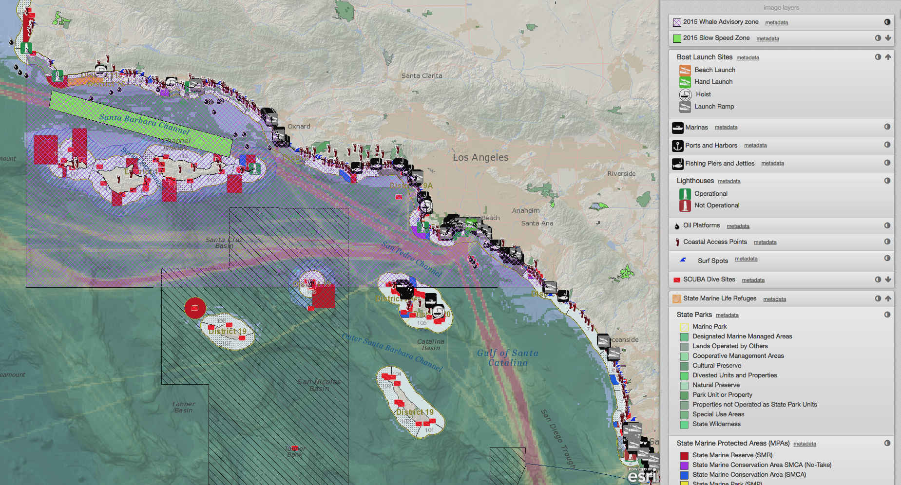
NOAA has some great map services published and accessible via the Coastal and Marine Spatial Planning Data Registry, among other places.I wanted to keep things simple, so I just copied the URLs for three map services: Existing National Marine Sanctuaries, US Maritime Limits and Boundaries, and Nautical Charts. I also added a map service published on one of my own ArcGIS Server instances, a layer representing the distribution of US cities with a population over 50,000.

Adding a map service with multiple layers (feature services) in SeaSketch.
Creating a Survey
Under the Survey Tools tab in the dashboard, project administrators can create a survey in just a few seconds, then configure that survey in a few minutes. I decided that this survey should not require a login, as that sometimes scares people away, that it should have social media buttons to advertise the survey on sites like Facebook and Twitter, and I created a simple welcome and explanation of the survey.

SeaSketch surveys can be open to the public for crowdsourcing, or restricted to invited users.
Configuring the Survey
Using NOAA's Sanctuary Nomination Process Guide, I replicated the questions NOAA is requiring for nominations as text-based questions, except one important one: Instead of asking for a description of the location, I asked users to draw the location of the prospective sanctuary.

Surveys are easily configured in an administrative interface.
Some of the survey questions have field rules. For example, if one checks the box indicating that their nomination meets "Criteria 4", then the survey prompts the user with an additional question to provide detailed information on criterion 4 that is relevant to their nomination.
I clicked a radio button to make the survey active (not hidden from the public) and that's it! The survey is live! This is how it looks to end users:

The live, public-facing view of the survey.
The beauty is that all survey responses may be visualized by project administrators, exported as shapefiles and CSVs, and this information can be easily formatted and sent to NOAA staff via email addresses listed on their web site.
If asked, the project administrator can even provide statistics on how many people accessed the nomination project, when they asked, and how many proposals were submitted - all important ways of demonstrating the level of public outreach and support for these nominations. These "use metrics" may be accessed by project administrators in the dashboard.

Administrative view of project use metrics.
Refining your nominations
Now, what if you want to do a little exploration and evaluation of alternatives before submitting your nomination to NOAA? Perhaps you want to sketch a few options and analyze them based on a set of pre-defined criteria? This is getting easier and easier to do.
Below, I've added a sketch class to the Sanctuary Nomination project called "Proposed Sanctuary". And, I've added a geoprocessing script that simply takes user-generated sketches, and analyzes them for (a) the distance to the nearest city with over 50,000 people, (b) the proportion of the sketch within state and federal waters, and (c) the size of the sketch. (I also have a "pre-processing" geoprocessing script that clips the sketch to the shoreline.)

Attaching geoprocessing scripts to the "Proposed Sanctuary" sketch class.
Creating these geoprocessing scripts took our GIS analyst, Dan Yocum, just a few hours. Lucky for you, though, you won't need to! SeaSketch now allows you to copy sketch classes, along with their analytical capabilities (i.e., geoprocessing steps). Project administrators who are setting up their own SeaSketch project for sketching and analyzing prospective nominations may simply use the "Marine Sanctuary" template provided by default to all SeaSketch projects.
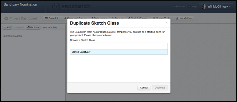
Duplicating the Marine Sanctuary sketch to another SeaSketch project.
How you can use this technology
If you want a way to quickly sketch and submit sanctuary nominations, you are welcome to use this project. The SeaSketch staff will submit all nominations to NOAA directly, and we will provide you with a copy of your input.
However, if you want to create your own SeaSketch project for sanctuary nominations, more power to you! It's easy and we can help you do it in a matter of minutes. Just as you can copy sketch classes from a template, you can copy the Sanctuary Nomination survey from a template, use it as it comes "out-of-the-box" or modify it to suit your needs.
The advantage to creating your own SeaSketch project for the nomination process is that you can create your own private discussion forums, additional analytics, survey questions, etc, that may help your group refine your ideas before submitting them. Contact me if you would like me to set up a nomination project just for you.