
SeaSketch and ArcGIS Online for Organizations
/SeaSketch is a web-based platform for the collaborative design of marine spatial plans, including the collection and discussion of map data. The application itself is a software Service (aka, “software as a service” or SaaS) hosted on a single website: www.seasketch.org. Each project within SeaSketch may display map data that are hosted on servers and websites distributed around the world.
SeaSketch is intended to be used in conjunction with a data management system that can host map and geoprocessing services. Ideally, you’ll have a system that lets you store and organize your data (e.g., shapefiles, rasters, layers, map documents, scripts) and a system for creating map services. It can also be used to organize geoprocessing services.
There are several options one has when choosing the right system for hosting map services and managing data. This blog post details how you can use ArcGIS Online along side SeaSketch.
What are map and geoprocessing services?
Map services are the way you make maps available through the web. Likewise, geoprocessing services are the way you make some kinds of analytical operations available through the web.
When you look at a map in SeaSketch your looking at the output from a map service. When you run a report – say, one that tells you how much habitat is contained within your sketch – this is a result of a geoprocessing service that has been used to analyze your sketch.
ArcGIS Online
ArcGIS Online is a web-based service one that let’s you store map data and, when used in conjunction with Esri’s ArcGIS Desktop, may be used to publish map services. These services may be made public or password protected – either way, they may be used in SeaSketch.
Files (like shapefiles that have been compressed into a .zip file, or an .mxd document) may be uploaded directly by way of a web-based interface, kept private or shared with groups or the public. In this way, it serves as an effective data management system.

Adding data from your computer to ArcGISOnline.
Publishing Map Services
Publishing map services to ArcGIS Online is extremely simple using ArcGIS Desktop 10.2. From within ArcGIS Desktop itself, you begin my logging into ArcGIS Online using your account’s username and password. Then, you simply organize all of your data in your map document and, select “Share As > Service” from the File menu.

Creating a map service from ArcGIS Desktop.
Assuming you have permission to publish services to your ArcGIS Online account, you will be guided through a series of steps that, ultimately, generates a web page and links to your map service. Logging into ArcGIS Online, you can see that map and the associated services in your account.
Here is an example of what this looks like for a map with 16 layers that I published to my ArcGIS Online account:

A published map service on ArcGIS online.
Each layer in this map has a unique URL. For example, the first layer in my map (PACIOCEA) has the following URL:
https://services1.arcgis.com/4TXrdeWh0RyCqPgB/arcgis/rest/services/SeaSketch_PACIOCEA/FeatureServer/0
This is called a feature service and the URL may be copied and pasted into a SeaSketch project (assuming you have administrative privileges to do so). It’s that easy!

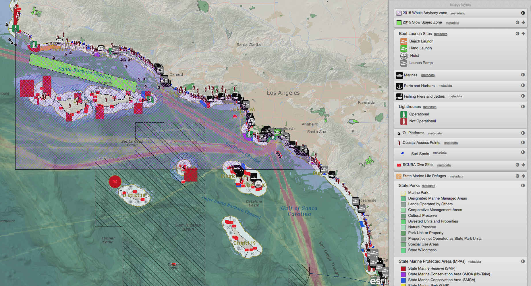
Adding layers from ArcGIS online to SeaSketch.
In the screenshot above, I’m adding all of the layers in that map document that I published to ArcGIS Online to my project in SeaSketch.
Geoprocessing services cannot be published directly to ArcGIS Online but they may be similarly published to ArcGIS Server and then organized and exposed in ArcGIS Online.
The Bottom Line
If you're thinking of using SeaSketch and you do not yet have a data management solution, consider using ArcGIS Online. Visit the Esri website to learn more about how to establish an ArcGIS account.
You may also need to use ArcGIS Server if your SeaSketch project will use analytical services and we can set that up for you using Amazon Web Services (AWS).