The Impacts of Using a GeoSpatial Tool: Results from evaluations of SeaSketch’s predecessor published

 The Impacts of Using a GeoSpatial Tool: Results from evaluations of SeaSketch’s predecessor published

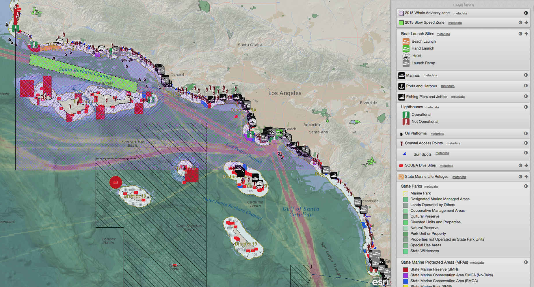
Why should we invest in geospatial tools? What makes them so valuable in science-based participatory process? In light of exciting progress toward the U.S. National Ocean Policy and marine spatial planning goals globally, and the proliferation of mapping portals and tools to support this work, we share this critical examination of MarineMap, the award-winning mapping platform that supported California's Marine Life Protection Act Initiative. From 2012 to 2014, the McClintock lab collaborated with Amanda Cravens, to investigate MarineMap, the predecessor to SeaSketch. Apaper describing part of the results of that research was recently published, and we have boiled down the key lessons learned in this post.

Read More

A Visit to Blue Halo Montserrat

A Visit to Blue Halo Montserrat

They call it the Emerald Island, and you can see why, with dense green vegetation on the slopes climbing straight out of the Caribbean waters. Narrow roads wind up along the steep streams, through neighborhoods sprawling through the northwest part of the island. Now home to fewer than 5,000 residents, Montserrat once had a bustling center in the southwest, now abandoned in the shadow of a smoking caldera. The volcano blew in 1995, sending mud and pyroclastic flows through the city, displacing the majority of Montserrat’s residents.

Read More

SeaSketch Over Cellular Network

SeaSketch Over Cellular Network

This week, we used SeaSketch extensively in over cellular networks on the Island of Barbuda. It worked like a charm. People often ask what kind of bandwidth is required to run SeaSketch. It's a web-based platform, so how does this work in places that don't have ethernet or cable networks? We put it to the test this week when we met with stakeholders in Barbuda, where we consistently operated SeaSketch over a cellular network.

Read More

Draft Sanctuaries and Mooring Areas Proposed in Barbuda

Draft Sanctuaries and Mooring Areas Proposed in Barbuda

On October 1, 2013, Stakeholders gathered at the Fisheries Complex in Barbuda to draft a marine spatial plan, including no-take sanctuaries and mooring areas around the island. Borrowing draft proposals and concepts for no-take sanctuaries and mooring areas developed by individual stakeholders, representatives from the Fisheries Department and the National Parks Department, a stakeholder group worked to refine a comprehensive marine spatial plan for Barbuda's waters, from the shoreline out to 3 nautical miles.

Read More