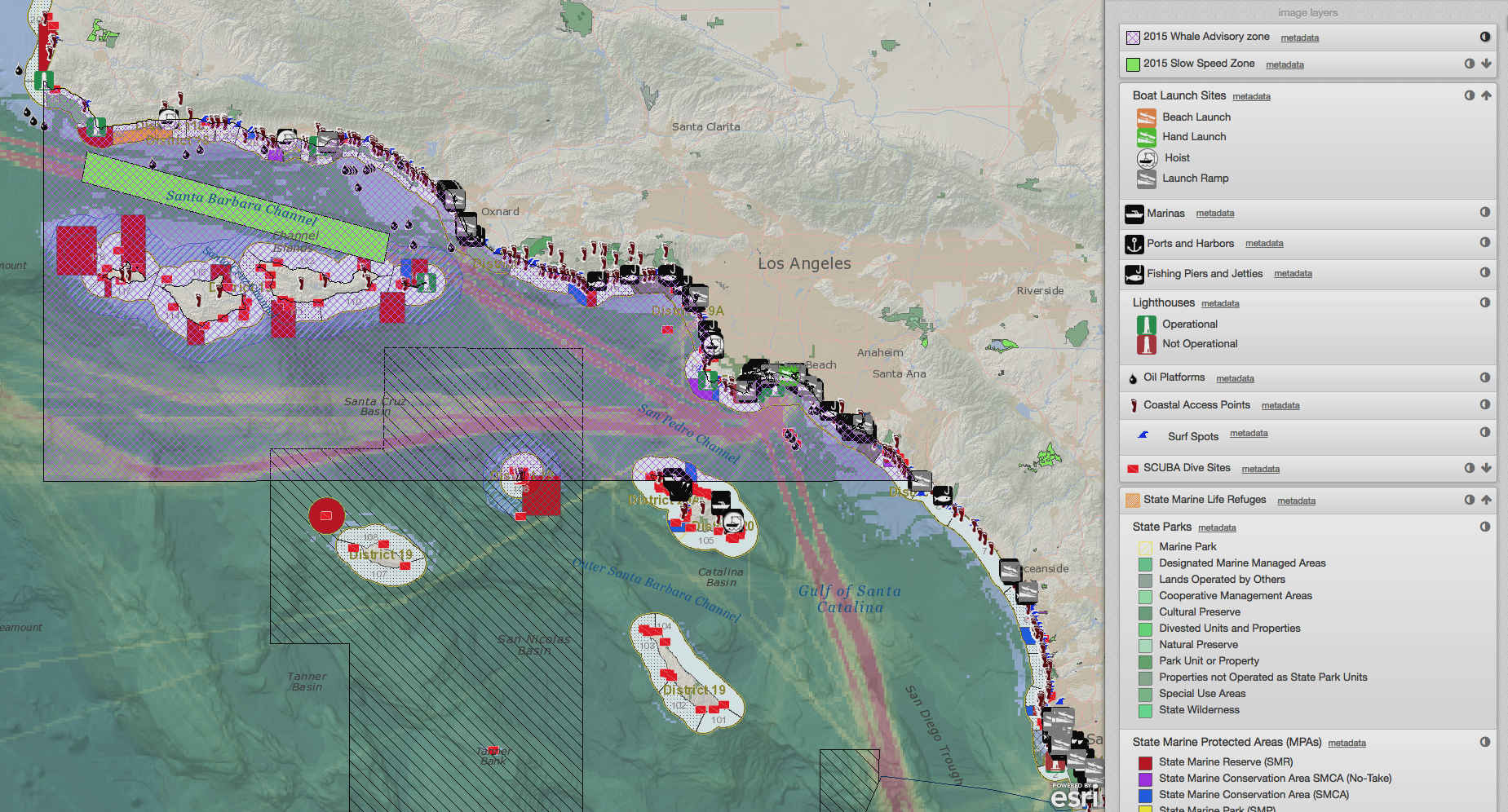
The Impacts of Using a GeoSpatial Tool: Results from evaluations of SeaSketch’s predecessor published
/Why should we invest in geospatial tools? What makes them so valuable in science-based participatory process? In light of exciting progress toward the U.S. National Ocean Policy and marine spatial planning goals globally, and the proliferation of mapping portals and tools to support this work, we share this critical examination of MarineMap, the award-winning mapping platform that supported California's Marine Life Protection Act Initiative. From 2012 to 2014, the McClintock lab collaborated with Amanda Cravens, to investigate MarineMap, the predecessor to SeaSketch. Apaper describing part of the results of that research was recently published, and we have boiled down the key lessons learned in this post.
Read More

