A Visit to Blue Halo Montserrat

A Visit to Blue Halo Montserrat

They call it the Emerald Island, and you can see why, with dense green vegetation on the slopes climbing straight out of the Caribbean waters. Narrow roads wind up along the steep streams, through neighborhoods sprawling through the northwest part of the island. Now home to fewer than 5,000 residents, Montserrat once had a bustling center in the southwest, now abandoned in the shadow of a smoking caldera. The volcano blew in 1995, sending mud and pyroclastic flows through the city, displacing the majority of Montserrat’s residents.

Read More
SeaSketch for Indonesia

SeaSketch for Indonesia

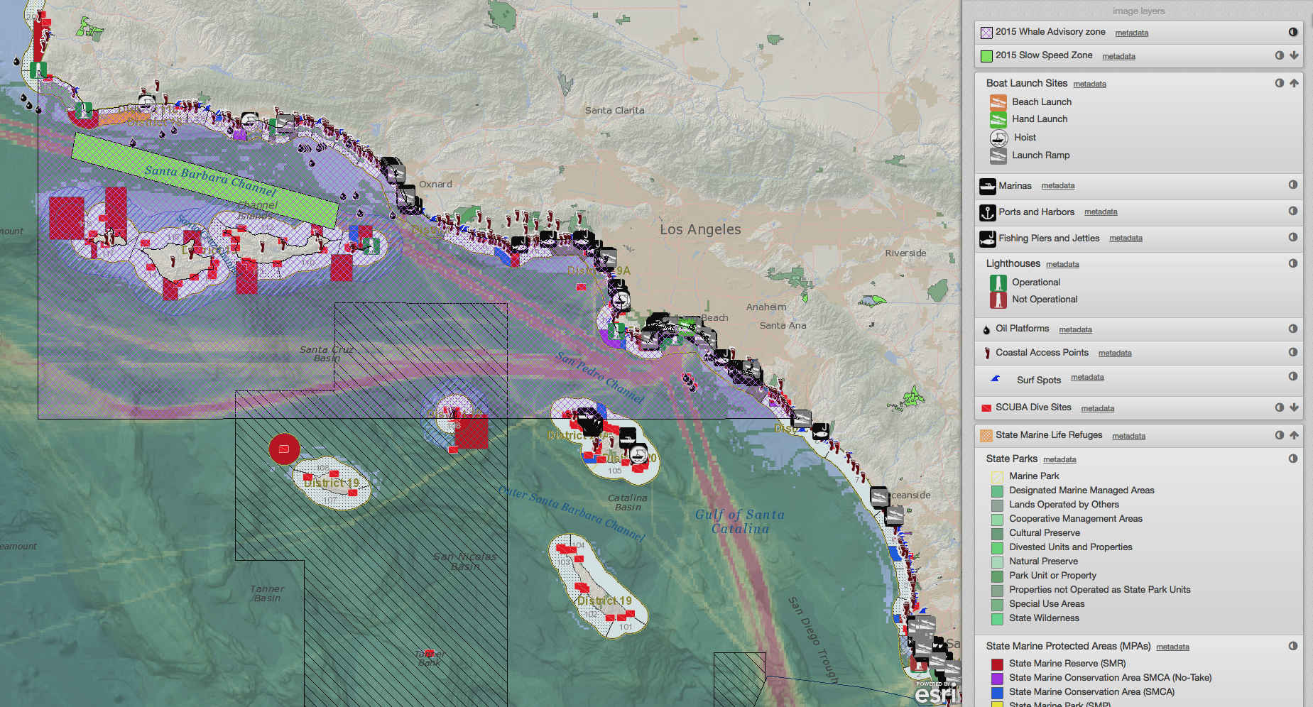
We are excited to announce that the McClintock Lab has launched a new project in Indonesia with The Nature Conservancy (TNC). Under the leadership of Dr. Joanna Smith (TNC Canada, Global Marine Team), the SeaSketch team and Coastal Resources Mapping Ltd are developing a new project to support comprehensive marine planning in the Lesser Sunda Ecoregion of Indonesia. Our kick-off trip in June was spent dropping in on a Marxan with Zones training led by Dr. Steve Schill (TNC Caribbean Program) for the TNC Indonesia staff, as well as representatives from partnering NGO’s, universities, and government. We dove into conversations about available data, the complex multi-agency governance structure, and SeaSketch specifics. The week of exploring coral reefs, coastal communities and rich cultural performances, while learning about the science and governance context from our new colleagues, made for an unforgettable launch.

Read More

Nominating a National Marine Sanctuary

Nominating a National Marine Sanctuary

For the first time in two decades, NOAA has invited communities to nominate a new National Marine Sanctuary. SeaSketch has been designed to help communities do just that. And now, because of some fancy new features, you can rapidly deploy a feature-rich SeaSketch project to help your nominations meet NOAA's criteria for consideration.

Read More

SeaSketch and ArcGIS Online for Organizations

SeaSketch and ArcGIS Online for Organizations

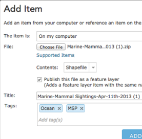
SeaSketch is a web-based platform for the collaborative design of marine spatial plans, including the collection and discussion of map data. The application itself is a software Service (aka, “software as a service” or SaaS) hosted on a single website: www.seasketch.org. Each project within SeaSketch may display map data that are hosted on servers and websites distributed around the world.

Read More

Updated Digitizing Tools for SeaSketch

Updated Digitizing Tools for SeaSketch

As part of the SeaChange Project, the New Zealand Department of Conservation (DOC) and Aukland University of Technology conducted an extensive survey of ocean uses around the Hauraki Gulf. After successfully running the survey with thousands of participants, DOC and the University were able to identify usability issues with SeaSketch's digitizing interface. Together we developed an improved user interface and DOC funded our efforts so that we could create an improved workflow that will benefit all projects starting today.

Read More